FCNSW running with new technological advancements
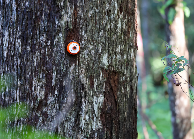
The transponder assists with the capture of digital data. Image: FCNSW
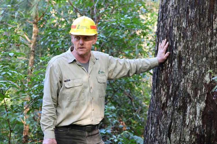
Rob Lloyd, Forestry Corporation’s inventory coordinator for native hardwood forests.. Image: FCNSW
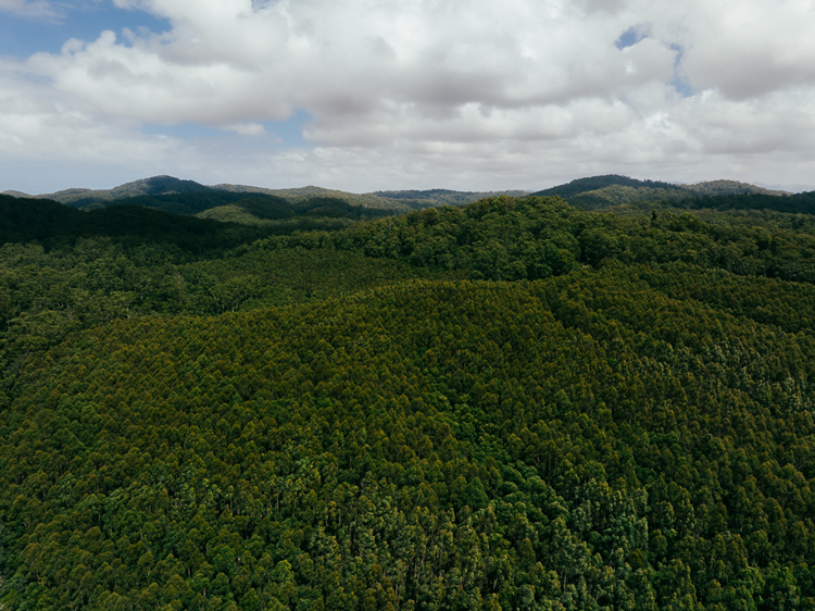
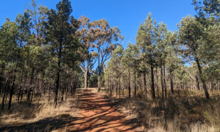
FCNSW manages over 2.18 million hectares of forests in NSW. Image: FCNSW
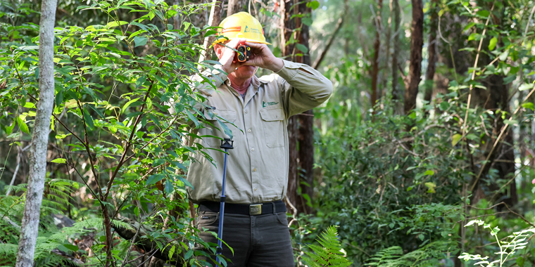
MAIN PIC: Rob Lloyd using a Vertex, a precision electronic tool for accurately and instantly measuring tree heights, angles and distances. Image: FCNSW
Deep in Orara East State Forest, on the NSW North Coast, the future of forestry is taking shape in flashes of laser light and layers of data.
What looks, at first glance, like a stretch of ordinary native hardwood forest is becoming something far more remarkable: a living digital replica.
Forestry Corporation of NSW is quietly building what could be a global first, a detailed “digital twin” of its native forest estate, and in doing so, changing the way forests are understood, measured and managed.
At the centre of that work is Rob Lloyd, Forestry Corporation’s inventory coordinator for native hardwood forests, based in Coffs Harbour.
Rob’s work is grounded in the plot network that has long underpinned forest modelling, but he is also helping lead the shift into a new era, one where traditional field knowledge is paired with powerful remote sensing technology to reveal the forest in extraordinary detail. That technology is LiDAR, or Light Detection and Ranging. By sending out pulses of laser light and measuring the reflections, LiDAR creates dense three-dimensional “point clouds” that map the shape of the land, the layers of vegetation and even the structure of individual trees.
For Forestry Corporation that means the possibility of knowing almost instantly what stands in the forest, the species, the size and the position, information that has traditionally taken people on the ground many hours to collect.
For decades that work has relied on careful manual measurement where a single 0.1-hectare plot has been assessed by hand, then used to represent roughly 340 hectares of surrounding forest. Robert says the digital twin will sharpen that picture dramatically.
“We are now moving towards a position where we will literally be able to use the digital twin forest to model how the forest is growing with respect to timber that’s in the stand,” he said.
“This technology will give us a much more accurate handle on every aspect of how the trees are growing.”
The promise is still just over the horizon. Robert believes the technology is about five years away from commercial-scale use, but the groundwork is already being laid by Forestry staff who decide which plots need to be measured to model the forest across a 100-year rolling cycle. In that sense, the digital twin is not replacing hard-won field expertise. It is building on it, extending it and making it more powerful.
And the boots-on-the-ground work remains crucial. Rob manages plot work in the field, audits measurements, trains staff and checks consistency across the program.
Eventually measurement from the digital twin will provide the information to drive the models that tell forestry what is likely to be in the forests. Rob expects to audit 5 to 10 per cent of the digital plots, by returning to the forest to physically mark-up plots and compare what is standing in front of him with what appears in the digital model.
These field checks will help fine-tune the system, steadily closing the gap between the real forest and its virtual twin. Behind that process is a complex web of information.
Forestry Corporation maintains several types of plots, each designed to tell a different part of the forest’s story. The two most prominent plot types are Permanent Growth Plots (PGPs) which capture the environmental character of a site, its growth potential, strata and understory and Native Forest Strategic Inventory (NFSI) plots that provide a picture of timber stand volume and product potential.
Each year about 500 NFSI plots and 100 PGPs are measured as part of a rolling five-year program creating the long-term picture that the FRAMS (Forest Resource and Management Evaluation System) depends on.
Each tree adds another layer to that picture. Trees are graded for timber quality, from high value stems to low quality, waste and habitat trees, which are protected for native wildlife. All of that detail will eventually feed into the digital twin, creating a stronger evidence base for how the forest is managed over a 100-year cycle.
It is a story of old school precision field measurement supporting the development of new and innovative cutting-edge AI enabled technology. In the end, it represents adaptive change of the most innovating kind.
Rob has worked for Forestry Corporation in the field for over two decades. He graduated with a Bachelor of Natural Resources majoring in Forest Hydrology and Myology, the study of life in streams.
“My wife, Anna, and I were looking to join forestry. We both took the job in 1998. She did it for a long time and now works with Save our Species in the Department of Environment.
“That’s how I got here. She stayed in it for seven years. I got my first permanent job with the Forestry Corporation in 2003 as a harvest planner.
“I felt like I’d won lotto that day.”
“I already loved forestry, and it had been a struggle to get in without a forester’s degree. It was a very hard job market to break into at that time because there were still lots of good foresters coming out of university. You had to be known, and you had to have a good history.”
In 2012 Rob secured a Resources Forester job under the Resources Manager for the North-East region. Then, in 2014 Rob became a tactical planner, which involves going out and looking at forward estimates over the five years in front of harvesting and planning. In 2021, he moved into a role as a Harvest Planner, before becoming a tactical planner assessing the five-year rolling future. Rob then moved into the strategic sphere, which models the forest over a 100-year rolling cycle.